OSI offers a variety of optional software capability modules and features that extend ECPINS’s main capabilities in navigation and situational awareness. Customers have the option of purchasing any selection of these modules for fleet-wide or platform-specific use.

Enables the bridge crew to maneuver the ship in such a way in order to maintain optimal conditions for safe aircraft operations. A SHOL (Ship Helicopter Operating Limits) screen layout provides the operator with a real-time graphical display.

Facilitates precise navigation by providing a specialized screen layout and a relative velocity calculator. The conning layout, ideal for use at the helm position, facilitates route tracking, docking, and refuelling at sea.
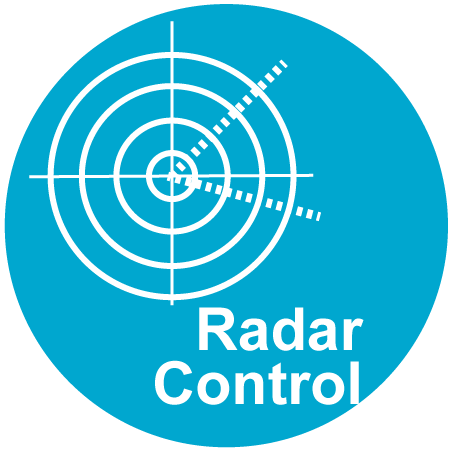
Provides direct control of the radar, where a vessel is equipped with digital navigation radar. Available for use with ECPINS and ECPINS-SC.
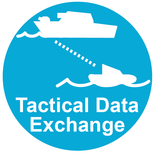
May be added to ECPINS or ECPINS-SC, enabling communication between vessels equipped with OSI’s T-ACT System Capability Module.
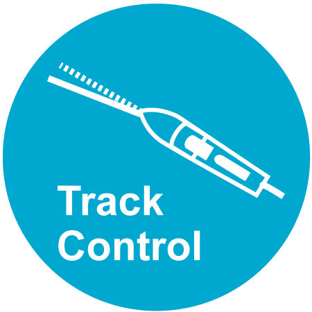
Enables the bridge crew to have ECPINS control that autopilot so that the vessel automatically steers along the route designated as active.

Enhances safety by augmenting human decision-making with AI-driven insights. It identifies priority contacts and recommends courses of action in accordance with the COLREGs.

Enables the visual display of Mine-Like Objects (MLO) from an integrated database, sonar or combat management system.

Fuses the image and tracks from two radars into a single 360° picture. Works with both analog and digital radars.
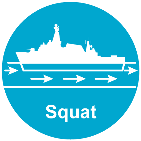
Useful when navigating in shallow water, this module enables the operator to have ECPINS alter the safety depth along specific route legs according to the vessel’s squat characteristics at the current or planned speed.

Provides tools that enable the operator to increase safety margins when firing guns, torpedoes, or missiles.
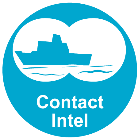
Facilitates the efficient monitoring, identification, and screening of contacts. This includes certain functions to import, export, and transfer contact data to other systems. Additionally, providing integration with NATO Form Gold.

Enables the multi-mission patrol craft to supplement its WECDIS navigation capability with an essential level of mission management.
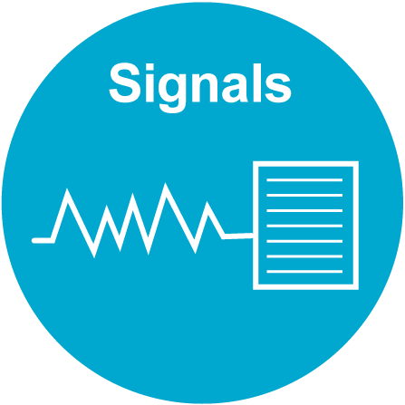
Allows the operator to import a NATO-standard signal, such as a SUBNOTE, into ECPINS, which can automatically plot navigational elements such as a route, PIM, or area.

Provides a screen layout that presents the Officer of the Watch an overview of navigation and operational considerations.
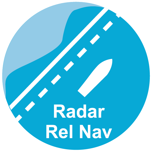
Provides a dedicated tool to support the planning and conduct of radar relative navigation using ECPINS.

Determines one’s own relative ship position in circumstances where a position fix derived from any Global Navigation Satellite System may not be available, degraded or in denied environments.
Offers tools and solutions for the planning and review of passages, operations, and exercises. Route Traceback allows a navigator to create a new route based on the foundation of a previous track.
Enhances dived navigation operations through the inclusion of certain features such as dived safety depth, dived depth display, enhanced INS position display, and a screen layout devoted to depth-keeping and conning.

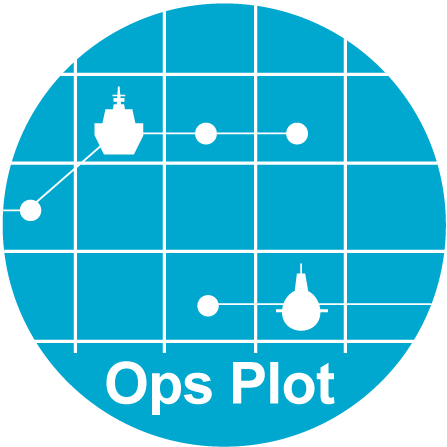
Enables the watchkeeping team to plot the likely location, heading, and speed of a contact based on bearing and estimated range reports from relevant sensors plotted at intervals.

Seamlessly fuses Radar Image Overlays from two navigation radars into one seamless 360° ECPINS display, providing enhanced situational awareness across analog and digital systems.
Customization Examples
*These are examples. Customers can select any modules for fleet-wide or platform-specific use.