OSI Maritime Systems brings over 20 years of experience delivering integration and data‑sharing expertise for major defence primes, including Lockheed Martin, Thales, and SAAB.
ECPINS integrates with CMS-330 Combat Management System
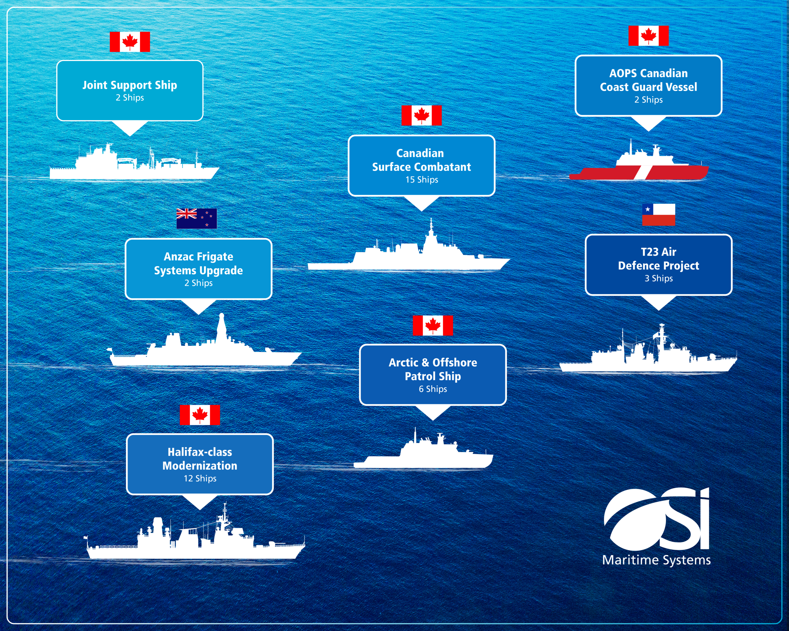
OSI Maritime Systems navigation solutions are integrated with Lockheed Martin Canada CMS-330 fitted assets. Over 25 platforms are operational with a further five under contract.
The OSI Integrated Bridge and Navigation System (IBNS) is also integrated with CMS-330 on board the Royal Canadian Navy’s River Class Destroyers (RCD) and has successfully completed IBNS Preliminary Design Review.
CMS-330 is the selected Combat Management System for the German Navy’s F127 Frigates and enjoys operational proven integration to ECPINS
NavTac DDU
At the core of OSI’s technology is the Navigation & Tactical Data Distribution Unit (NavTac DDU), a powerful sensor data distribution system purpose‑built for military vessels and a key component of OSI’s IMO‑certified Integrated Bridge System (IBS).
Featuring a plug‑in, open‑architecture design, NavTac DDU supports data routing, distribution, logging, and message translation, allowing sensor data to be routed from any input to one or more output interfaces in any combination. Operating over a dual‑Ethernet, IP‑based network isolated from other LANs and built to Mil‑Spec standards, the system collects, validates, processes, and distributes navigation sensor data with advanced checks for data validity, plausibility, and integrity—delivering high‑performance output while minimizing latency and jitter, and enabling truly multifunctional consoles at the click of a button.
Proven Experience
With over 190 NavTac DDU’s deployed, OSI’s proven experience includes the US Navy LCS program, Royal Canadian Navy Halifax‑class vessels and submarines, Germany’s F126 program, and a wide range of other complex naval environments.
ECPINS Military Chart Engine
ECPINS’s features an unsurpassed chart engine that is powerful and versatile, capable of displaying a vast range of chart formats including all common electronic nautical chart types, NATO AMLs, encrypted charts, land contour maps, and satellite photos. Since this engine is entirely proprietary, developed by OSI engineers over decades, OSI can adjust and improve it in a timely and effective manner.