Integrated Mission Management System (IMMS) – OSI Maritime Systems + CarteNav
A Partnership to Better Navigate Maritime Domain Awareness
Providing command teams with enhanced situational awareness is the first step towards improving OSI’s ability to enable customers to analyze the mission and develop an effective course of action.
February 14, 2025 – OSI Maritime Systems (OSI) is extremely pleased to announce that it has partnered with CarteNav, a PAL Company. This partnership brings together the maritime tactical decision aids within OSI’s WECDIS and the exceptional data fusion compilation capabilities of CarteNav’s AIMS-ISR mission software and their AIMS-C4 common operating picture (COP) software to integrate shore, maritime, and air-based C4ISR systems.
OSI has provided our customers with integrated navigation and tactical solutions for over 20 years. The core Warship Electronic Chart Display System (WECDIS) product has an exceptional global reputation with 26 navies for enhancing their operational capabilities, security and safety in the maritime environment. OSI has further developed this capability to provide mission management solutions for naval and other government vessels.
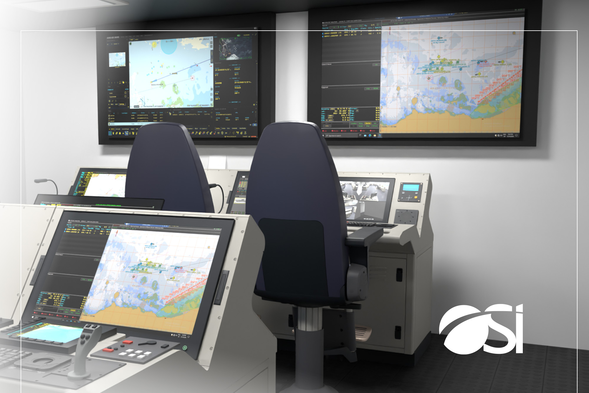
The Integrated Mission Management System (IMMS) provides a Recognized Maritime Picture (RMP) to command teams on platforms without a dedicated warfighting combat management system.
Designed for vessels conducting Maritime Security and Interdiction Operations. IMMS enhances situational awareness with the ability to access the full spectrum of onboard sensors, including commercial and naval information and tactical data systems. With suitable communications the tracks and electro-optic video from collaborative manned and unmanned airborne platforms can be integrated into the picture and assessment process. Leveraging effective threat detection, classification and identification at range the command team decision making is significantly enhanced, offering timely and accurate targeting information for onboard weapon systems and data exchange for interception assets both surface and air.
This integration of systems is enabled by a wide range of plugin interfaces which can also be rapidly developed for customer specified new and novel capabilities. Coupled with OSI’s leading approach to GNSS denied operations IMMS is designed to continue to operate safely and effectively in complex maritime environments to manage a composite and diverse maritime picture. From detection, classification, presentation, decision and action – all delivered in one package. Now with the integration of CarteNav’s AIMS-ISR mission software and their AIMS-C4 common operating picture (COP) software, IMMS capabilities are broadened to a much wider range of operational requirements.
AIMS-ISR has been extensively used by air, land, and maritime forces worldwide to deliver situational awareness to decision-makers by giving them access to near real-time ISR data, media, and historical information. With AIMS-C4, the RMP contributes to the Common Operating Picture (COP). This development has also extended the IMMS capability to the capture and analytics of both organic and offboard EOIR-derived video.
IMMS core capability is delivered in a modern, flexible architecture which allows further enhancement through integration with specialized applications, either through OSI partnerships with OEMS or provided by the customer, including, were appropriate, the NATO applications for sensor and data integration, picture compilation and battlefield chat. This system flexibility is designed to support the growing maritime security emphasis on uncrewed vehicles, whether remotely controlled or autonomous, novel sensors or effectors and specific customer platform tasking.
About OSI Maritime Systems
OSI Maritime Systems, has been providing advanced integrated navigation and tactical solutions to military customers for over 20 years. As a pioneer of Warship Electronic Chart Display and Information Systems (WECDIS), the company has grown to be a leading provider of integrated navigation and tactical solutions designed for naval and maritime security operations. The company develops and delivers integrated bridge systems for warships, integrated dived navigation systems for submarines, and C2 systems for small craft. OSI currently has 26 naval customers from around the world with more than 700 warships and submarines operating with its world leading integrated navigation and tactical solutions.
About CarteNav
CarteNav, established in 2002, develops ISR Mission Software for security, safety, economic, and environmental operations. The team has built its reputation on embracing challenges others may avoid, such as integrating with the world’s most innovative sensors that extend the operator’s capabilities far beyond the status quo – achieving ISR capabilities for complex threats and without boundaries. With 600+ customer installations in over 60 countries, CarteNav’s ISR Mission Software is built to be highly adaptable for meeting today’s diverse operational requirements.
AIMS-ISR is CarteNav’s mission system software that enhances situational awareness and improves mission effectiveness on airborne, land-based, and maritime platforms. By processing and managing imagery and data from a variety of sensors, AIMS-ISR provides the operator with real-time augmented reality mapping on a local operating picture. Learn how AIMS-ISR powers today’s multi-role ISR solutions for operators tackling today’s unique special missions at: cartenav.com
Media Contacts
OSI Maritime Systems
Simon Wills
Director Government Relations / Marketing and Communications
swills@osimaritime.com
604-889-4237
CarteNav
Trevor Bradley
Director of Marketing
trevor.bradley@cartenav.com
902-817-5233